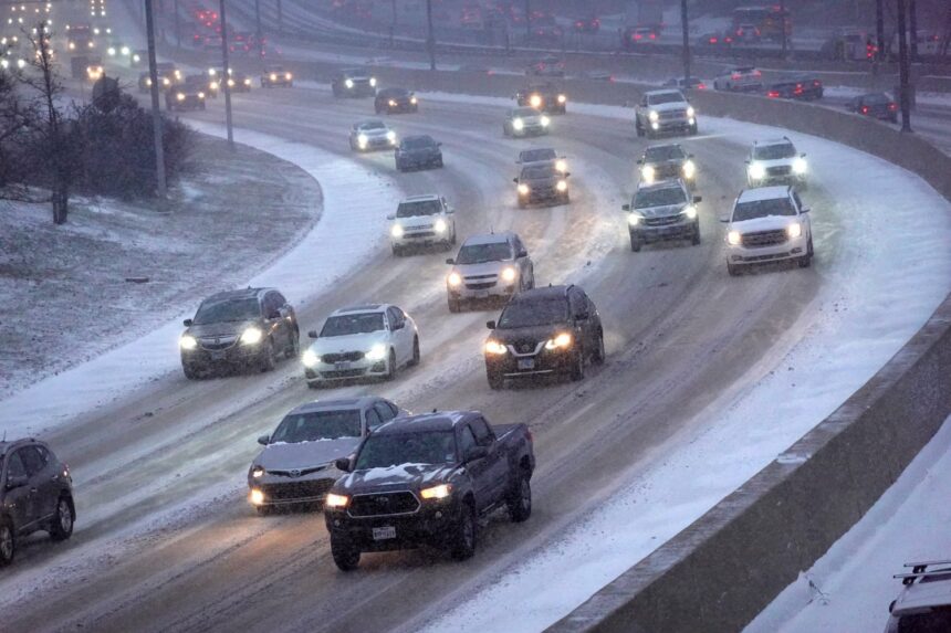
Don’t let 2024’s record-warm autumn lull you into a fall sense of sweater weather—winter is upon us, as an imminent polar vortex is set to remind the northern swathes of the United States.
According to the National Weather Service’s Weather Prediction Center, the northwestern United States will experience “heavy coastal rains and higher elevation snow,” while the central and eastern U.S. will undergo surges of cold Arctic air. States bordering the Great Lakes will get “anywhere between 6-12 inches of snow,” while areas downwind of the lakes could get more. (An AccuWeather meteorologist stated that parts of Ohio, Pennsylvania, and New York will get up to two feet, or 61 centimeters, of snow). You can see a map of the weather prediction here; the NWS short forecast bulletin is valid through Saturday, January 4.
Rain and snow showers will expand across the Northwest by Friday, according to the NWS, and a high pressure system over the Great Plains will send frigid air through the central and eastern U.S. into Monday. If you’re curious about a specific location, the NWS has a handy tool that allows you to click anywhere in the country and get a short range forecast and writeup of the weather outlook in that area.
According to AccuWeather, areas south of those getting snow—from the Plains to the Ohio and Tennessee Valleys—could face a substantial amount of ice that could cause downed trees and power outages. ‘Tis the season for it; On January 9, 2024, a massive winter storm rolled across the eastern U.S., dumping rain and snow across the affected states and even spawning tornadoes. The same preparation information goes for this storm as with most inclement weather events: Don’t travel in hazardous conditions unless you have to, and make sure you have enough supplies at home to hunker down for a few days.
The frigid front is a reminder that the polar vortex is not something that simply stays in the Arctic; as climate change occurs, the polar vortex can take on a wavelike pattern. A report published last month in Environmental Research: Climate investigated the trend. In essence, don’t expect global warming to always cause temperatures to rise. Shifting climate patterns can disrupt the polar vortex, moving warmer air north and pushing colder air farther south.
“It seems really counterintuitive, but there will be plenty of ice, snow and frigid air in the Arctic winter for decades to come, and that cold can be displaced southward into heavily populated regions by Arctic heat waves,” said Jennifer Francis, a co-author of the paper at the Woodwell Climate Research Center, in a National Oceanic and Atmospheric Administration release.
Nevertheless, the impending winter storm is aberrant from the National Weather Service’s overall predictions for the first quarter of 2025. In a report published in late December, the service predicted that, following a cold start to the new year, the temperature trends suggest warmer-than-normal conditions through March across the southern and eastern United States (below-average temperatures are predicted for the northwestern U.S.) Above-average precipitation numbers are predicted for the northwestern U.S. and the Great Lakes region, while below-average precipitation is expected across most of the the South.
Suffice to say bundle up and stay safe if you’re on the road! We’re nearly two weeks into winter and the season is delivering its a frosty wallop for millions of Americans.
Read the full article here


